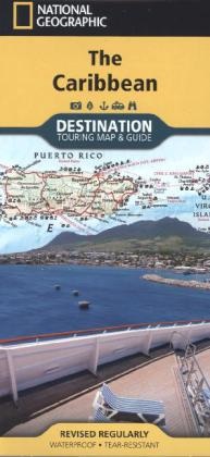
Description
Détails du produit
| Auteurs | National Geographic Maps, National Geographic Maps |
| Collaboration | National Geographic Maps (Editeur) |
| Edition | National Geographic Maps |
| Langues | Anglais |
| Format d'édition | Carte géographique (feuille) |
| Sortie | 11.07.2013 |
| EAN | 9781597754538 |
| ISBN | 978-1-59775-453-8 |
| Pages | 1 |
| Dimensions | 110 mm x 235 mm x 4 mm |
| Poids | 94 g |
| Séries |
National Geographic Destination Map & Guide National Geographic Destination Touring Maps & Guides |
| Thèmes |
Karten. National Geographic National Geographic Destination Touring Map & Guide DestinationMap National Geographic Destinatio DestinationMap National Geographic Destination Touring Map & Guide |
| Catégories |
Voyage
> Cartes, plans de ville, atlas
Voyage > Guides de voyages > Amérique du Nord et centrale Colorado : Strassenkarten, Utah : Strassenkarten, Karibik : Allgemeine Übersichtskarten, New Mexico : Strassenkarten, Arizona : Strassenkarten |
Commentaires des clients
Aucune analyse n'a été rédigée sur cet article pour le moment. Sois le premier à donner ton avis et aide les autres utilisateurs à prendre leur décision d'achat.
Écris un commentaire
Super ou nul ? Donne ton propre avis.

