Résultat de la recherche
Topographische Karten Bayern - Bl.L7342: Topographische Karte Bayern Landau a. d. Isar
Allemand
01.03.2010
Carte géographique (feuille)
Fr. 9.90
Topographische Karten Bayern - Bl.37: Rottaler Bäderdreieck
Allemand
01.01.2004
Carte géographique (feuille)
Fr. 10.50
Topographische Karten Bayern - Bl.12: Naturpark Fichtelgebirge, westlicher Teil
Allemand
01.01.2005
Carte géographique (feuille)
Fr. 10.50
Topographische Karten Bayern - Bl.13: Naturpark Fichtelgebirge, östlicher Teil, Naturpark Steinwald
Allemand
01.01.2005
Carte géographique (feuille)
Fr. 10.50
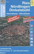
Topographische Karten Bayern - Bl.21: Ries, Hesselberg, Nördlingen, Dinkelsbühl
Allemand
01.01.2007
Carte géographique (feuille)
Fr. 10.50
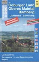
Topographische Karten Bayern - Bl.3: Oberes Maintal, Coburger Land
Allemand
01.01.2006
Carte géographique (feuille)
Fr. 10.50
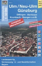
Topographische Karten Bayern - Bl.31: Günzburg, Neu-Ulm
Allemand
01.01.2002
Carte géographique (feuille)
Fr. 10.50
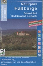
Topographische Karten Bayern - Bl.23: Naturpark Haßberge
Allemand
01.01.2007
Carte géographique (feuille)
Fr. 10.50
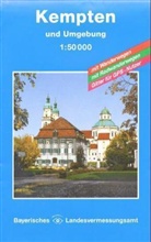
Topographische Karten Bayern - Bl.17: Kempten und Umgebung
Allemand
01.03.2013
Carte géographique (feuille)
Fr. 10.50
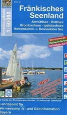
Topographische Karten Bayern - Bl.22: Fränkisches Seenland
Allemand
01.01.2005
Carte géographique (feuille)
Fr. 10.50
Topographische Karten Bayern - Bl.L7934: TK50 L7934 München
Allemand
13.02.2009
Carte géographique (feuille)
Fr. 9.90
Topographische Karten Bayern - Bl.L5728: Topographische Karte Bayern Bad Königshofen i. Grabfeld
Allemand
01.03.2010
Carte géographique (feuille)
Fr. 9.90
Topographische Karten Bayern - Bl.21: Topographische Karte Bayern Ries, Nördlingen, Dinkelsbühl, Hesselberg, Altmühlsee
Allemand
01.01.2013
Carte géographique (feuille)
épuisé
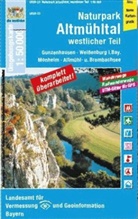
Topographische Karten Bayern - Bl.23: Topographische Karte Bayern Naturpark Altmühltal, Westlicher Teil
Allemand
01.01.2013
Carte géographique (feuille)
épuisé
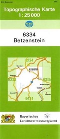
Topographische Karten Bayern - Bl.6334: Topographische Karte Bayern Betzenstein
Allemand
01.04.2010
Carte géographique (feuille)
épuisé
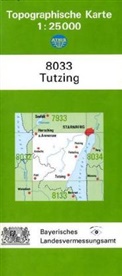
Topographische Karten Bayern - Bl.8033: Topographische Karte Bayern Tutzing
Allemand
01.01.2008
Carte géographique (feuille)
épuisé
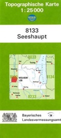
Topographische Karten Bayern - Bl.8133: Topographische Karte Bayern Seeshaupt
Allemand
01.12.2008
Carte géographique (feuille)
épuisé
Topographische Karten Bayern - Bl.8129: Topographische Karte Bayern Kaufbeuren
Allemand
01.01.2009
Carte géographique (feuille)
épuisé

