Résultat de la recherche
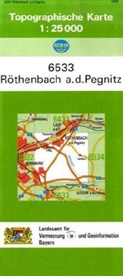
Topographische Karten Bayern - Bl.6533: Topographische Karte Bayern Röthenbach a. d. Pegnitz
Allemand
01.12.2006
Carte géographique (feuille)
épuisé
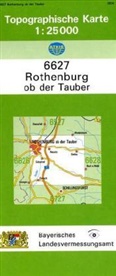
Topographische Karten Bayern - Bl.6627: Topographische Karte Bayern Rothenburg ob der Tauber
Allemand
01.12.2010
Carte géographique (feuille)
épuisé
Topographische Karten Bayern - Bl.6728: Topographische Karte Bayern Herrieden
Allemand
01.01.2012
Carte géographique (feuille)
épuisé
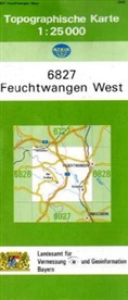
Topographische Karten Bayern - Bl.6827: Topographische Karte Bayern Feuchtwangen West
Allemand
01.01.2006
Carte géographique (feuille)
épuisé
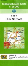
Topographische Karten Bayern - Bl.7526: Topographische Karte Bayern Ulm Nordost
Allemand
01.12.2007
Carte géographique (feuille)
épuisé
Topographische Karten Bayern - Bl.7626: Topographische Karte Bayern Ulm Südost (Neu-Ulm)
Allemand
01.12.2006
Carte géographique (feuille)
épuisé
Topographische Karten Bayern - Bl.7726: Topographische Karte Bayern Illertissen
Allemand
01.01.2007
Carte géographique (feuille)
épuisé
Topographische Karten Bayern - Bl.7743: Topographische Karte Bayern Marktl
Allemand
01.12.2007
Carte géographique (feuille)
épuisé
Topographische Karten Bayern - Bl.7842/43: Topographische Karte Bayern Burghausen
Allemand
01.11.2007
Carte géographique (feuille)
épuisé
Topographische Karten Bayern - Bl.8040: Topographische Karte Bayern Eggstätt
Allemand
01.12.2007
Carte géographique (feuille)
épuisé
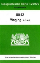
Topographische Karten Bayern - Bl.8042: Topographische Karte Bayern Waging a. See
Allemand
01.12.2007
Carte géographique (feuille)
épuisé
Topographische Karten Bayern - Bl.54: Topographische Karte Bayern Chiemsee, Chiemgauer Alpen
Allemand
01.09.2014
Carte géographique (feuille)
épuisé
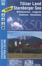
Topographische Karten Bayern - Bl.52: Topographische Karte Bayern Tölzer Land, Starnberger See
Allemand
01.12.2014
Carte géographique (feuille)
épuisé
Topographische Karten Bayern - Bl.54: Topographische Karte Bayern Chiemsee, Chiemgauer Alpen
Allemand
01.12.2014
Carte géographique (feuille)
épuisé
Topographische Karten Bayern - Bl.24: Topographische Karte Bayern Naturpark Altmühltal, Mittlerer Teil
Allemand
01.01.2007
Carte géographique (feuille)
épuisé
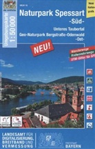
Topographische Karten Bayern - Bl.16: Topographische Karte Bayern Naturpark Spessart Süd
Allemand
01.03.2014
Carte géographique (feuille)
épuisé
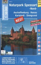
Topographische Karten Bayern - Bl.6: Topographische Karte Bayern Naturpark Spessart Nord
Allemand
01.03.2014
Carte géographique (feuille)
épuisé
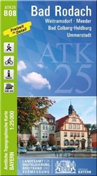
Topographische Karten Bayern - Bl.B08: Amtliche Topographische Karte Bayern Bad Rodach
Allemand
01.03.2015
Carte géographique (feuille)
épuisé
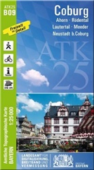
Topographische Karten Bayern - Bl.B09: Amtliche Topographische Karte Bayern Coburg
Allemand
01.12.2014
Carte géographique (feuille)
épuisé
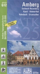
Topographische Karten Bayern - Bl.G12: Amtliche Topographische Karten Bayern Amberg
Allemand
01.10.2014
Carte géographique (feuille)
épuisé

