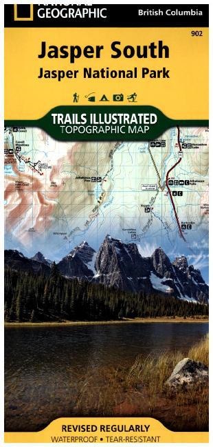
Descrizione
Dettagli sul prodotto
| Autori | National Geographic Maps, National Geographic Maps, National Geographic Maps - Trails Illust |
| Con la collaborazione di | National Geographic Maps (Editore) |
| Editore | National Geographic Maps |
| Lingue | Inglese |
| Formato | Carta o mappa |
| Pubblicazione | 12.07.2013 |
| EAN | 9781566956604 |
| ISBN | 978-1-56695-660-4 |
| Pagine | 1 |
| Dimensioni | 110 mm x 5 mm x 233 mm |
| Peso | 91 g |
| Collane |
National Geographic Trails Illustrated Maps National Geographic Trails Illustrated Topographic Maps |
| Serie |
National Geographic Trails Illustrated Map National Geographic Trails Illustrated Topgraphic Map Trails Illustrated National Geographic Trails Illustrated Topgraphic Map Trails Illustrated |
| Categorie |
Viaggi
> Carte e mappe, piante di città, atlanti
Viaggi > Carte e mappe, piante di città, atlanti > Nordamerica e America Centrale |
Recensioni dei clienti
Per questo articolo non c'è ancora nessuna recensione. Scrivi la prima recensione e aiuta gli altri utenti a scegliere.
Scrivi una recensione
Top o flop? Scrivi la tua recensione.

