Ulteriori informazioni
Create custom applications with the Google Maps API
Featuring step-by-step examples, this practical resource gets you started programming the Google Maps API with JavaScript in no time. Learn how to embed maps on web pages, annotate the embedded maps with your data, generate KML files to store and reuse your map data, and enable client applications to request spatial data through web services.
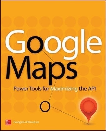
Google Maps: Power Tools for Maximizing the API explains techniques for visualizing masses of data and animating multiple items on the map. You'll also find out how to embed Google maps in desktop applications to combine the richness of the Windows interface with the unique features of the API. You can use the numerous samples included throughout this hands-on guide as your starting point for building customized applications.
Create map-enabled web pages with a custom look
Learn the JavaScript skills required to exploit the Google Maps API
Create highly interactive interfaces for mapping applications
Embed maps in desktop applications written in .NET
Annotate maps with labels, markers, and shapes
Understand geodesic paths and shapes and perform geodesic calculations
Store geographical data in KML format
Add GIS features to mapping applications
Store large sets of geography data in databases and perform advanced spatial queries
Use web services to request spatial data from within your script on demand
Automate the generation of standalone web pages with annotated maps
Use the Geocoding and Directions APIs
Visualize large data sets using symbols and heatmaps
Animate items on a map
Bonus online content includes:
A tutorial on The SQL Spatial application
A bonus chapter on animating multiple airplanes
Three appendices: debugging scripts in the browser; scalable vector graphics; and applying custom styles
Sommario
1. Cartography 101: Fitting a Round Planet on a Flat Monitor
2. HTML Mapping: Embedding Maps in Web Pages
3. JavaScript for Google Maps: A Quick Intro to JavaScript
4. Advanced JavaScript: Events and Objects
5. Programming the Google Maps API: The Basic Objects
6. Windows Mapping: Embedding Maps in Windows Applications
7. Markers and Icons: Identifying Locations on the Map
8. Feature Annotation: Drawing Shapes on Maps
9. Interactive Drawing
10. Geodesic Calculations: The Geometry Library
11. The KML Data Format: Persisting Spatial Data
12. GIS on Google Maps: Building a GIS Application
13. The Backend Database: Storing and Querying Spatial Data
14. Marker Clustering: Handling Many Markers on the Map
15. Sharing Maps: Map Generation and Annotation
16. Making Ajax Calls: Updating maps in real time
17. More Google Services: Directions and Geocoding APIs
18. My Place on Earth: Location Aware Applications
19. Heatmaps: Visualizing Spatial Data
20. Mapping with Style: Customize Maps with Styles
21. JavaScript Animation: Animating Items on the Map
22. Advanced Animation: Animated Drawings
APPENDIX I: Script Debugging
APPENDIX II: Scalable Vector Graphics
Info autore
Evangelos Petroutsos ist Programmierer und erfolgreicher Autor mehrerer Visual Basic Bücher.
Riassunto
Build advanced applications with basic programming skills following the model of dozens of sophisticated, creative Google Maps applications—from flight animation to map annotation.

