Sold out

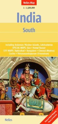
Nelles Maps: India South 1:1'500'000 - Ancienne édition

English · Paperback / Softback

Description

Read more

A brand new edition Nelles Map with a scale of 1:1.5 Million. It features transport systems, rail networks, physical relief mapping and distance indicators. Major tourist sites are highlighted and the high quality paper ensures durability and easy folding.

List of contents

Nebenkarten und Stadtpläne:
Bangalore 1 : 50,000 Stadtplan
Hyderabad 1 : 50,000 Stadtplan
Chennai (Madras) 1 : 50,000 Stadtplan
Thiruvananthapuram (Trivandrum) 1 : 50,000 Stadtplan
Andaman and Nicobar Islands 1 : 1,500,000 Detail- / Übersichtskarte
Lakshadweep 1 : 1,500,000 Detail- / Übersichtskarte
Goa 1 : 750,000 Detail- / Übersichtskarte
Hampi (Bazaar) 1 : 14,300 Detail- / Übersichtskarte
Kochi (Cochin) 1 : 75,000 Stadtplan.

Product details

Assisted by Günter Nelles (Editor)
Publisher Nelles
 
Languages English
Product format Paperback / Softback
Released 01.01.2012
 
EAN 9783865742322
ISBN 978-3-86574-232-2
Dimensions 120 mm x 254 mm x 3 mm
Weight 61 g
Set Nelles Maps
Series Nelles Map
CARTES
Nelles Maps
Nelles Map
Subjects Natural sciences, medicine, IT, technology > Geosciences > Geography
Travel > Maps, city plans, atlases > Asia

Customer reviews

No reviews have been written for this item yet. Write the first review and be helpful to other users when they decide on a purchase.

Write a review

Thumbs up or thumbs down? Write your own review.

For messages to CeDe.ch please use the contact form.

The input fields marked * are obligatory

By submitting this form you agree to our data privacy statement.