Read more
Unsere folienbeschichtete und gefaltete Borch Map von Europa in der 17. Auflage beinhaltet: Europa 1:4 000 000, Nordeuropa 1:5 000 000, Innenstadtausschnitte von London 1:15 000, Paris 1:15 000 und Rom 1:13 000, die Regionen um London, Paris und Rom jeweils in 1:700 000, die 15 Top Sights und die Flughäfen dieser drei Metropolen und eine administrative Übersichtskarte der Europäischen Union mit Zeitzonen. Borch Maps beinhalten eine Vielzahl interessanter und nützlicher Informationen, detailreiche und benutzerfreundliche Kartographie, aber auch Statistiken, Umrechnungstabellen, Klimadiagramme und zahlreiche Übersichtskarten, die eine Borch Map zu einem exzellenten Reisebegleiter machen. Kartenformat (offen): 990 x 685 mm.
About the author
Die Borch GmbH produziert seit 20 Jahre die Borch Map Kartenserie und vetreibt diese weltweit. Mit nahezu 100 Titeln, ist die Borch Themenpalette breit aufgestellt, kommende Neuentwicklungen bringen eine neue Lebendigkeit und eine inhaltlich unvergleichbare Vielfalt mit sich und die doppelseitige Cellophanierung aller Borch Maps sorgt für ein wertiges und robustes Produkterlebnis.
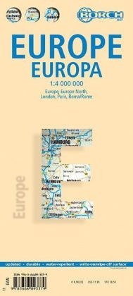
Summary
Our laminated and folded Borch Map of Europe in the 19th edition contains: Europe 1:4 000 000, Europe North 1:5 000 000, the city centres of London 1:15 000, Paris 1:15 000 and Rome 1:13 000, the greater metropolitan areas of London, Paris and Rome in 1:700 000, the 15 Top Sights and airports of these three cities and an administrative map of the European Union with time zones. Borch Maps contain a multitude of interesting and useful information, highly detailed and user-friendly cartography, but also statistics, conversion tables, climate data and numerous detail maps, making a Borch Map an excellent travel companion. Map format (open): 990 x 685 mm.