Fr. 79.00

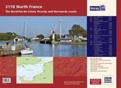
Imray Chart Atlas 2110 - North France - Nord-Pas-de-Calais, Picardy and Normandy Coasts

English · Sheet map, flat

Shipping usually takes at least 4 weeks (title will be specially ordered)

Description

Read more


A new edition of the atlas North France, consisting of 6 double-sided sheets covering the coast from Nieuwpoort (Belgium) to Cherbourg. The atlas consists of the following:

Summary

A new edition of the atlas North France, consisting of 6 double-sided sheets covering the coast from Nieuwpoort (Belgium) to Cherbourg. The atlas consists of the following:

Product details

Authors Imray
Publisher Imray, Laurie, Norie & Wilson Ltd
 
Languages English
Product format Sheet map, flat
Released 01.01.2017
 
EAN 9781846238598
ISBN 978-1-84623-859-8
Dimensions 615 mm x 445 mm x 5 mm
Weight 632 g
Series 2000 Series
2000 Series
Subject Natural sciences, medicine, IT, technology > Technology > Mechanical engineering, production engineering

Customer reviews

No reviews have been written for this item yet. Write the first review and be helpful to other users when they decide on a purchase.

Write a review

Thumbs up or thumbs down? Write your own review.

For messages to CeDe.ch please use the contact form.

The input fields marked * are obligatory

By submitting this form you agree to our data privacy statement.