Read more
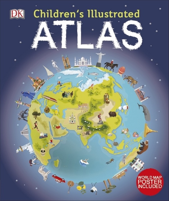
Informationen zum Autor Dr Andrew Brooks has been a Lecturer in Development Geography at King's College London since 2011. His undergraduate teaching involves Human Geography and International Development. Andrew is an active researcher and has written books, chapter and articles on the geographies of economic and social change in Africa as well as environmental issues. His research has taken him all around the world. Klappentext DK's Children's Illustrated Atlas brings geography to life. It is packed with colourful maps, for kids and fascinating facts about the countries of the world. Each map is bursting with information, combining colourful icons with photographs representing key points about each country. The atlas includes a world map, with a political map for each continent. Children are shown how to use a key, compass, and scale. This charming and informative book is a key addition to every child's library. Zusammenfassung A picture atlas that takes young readers on a visual journey around the world, from Spain and Portugal to China and Mongolia. Continents and countries are brought to life through stunning photography and eye-catching illustrations. Uncover incredible geographical features, wildlife, culture, history, and landmarks in unprecedented detail. This incredible and inspiring visual atlas takes you on a fact-filled, continent-by-continent tour of the world! Throughout the pages of this adventure book, you'll discover more than 50 fascinating maps that are packed with fun facts and fresh images. Your child will learn all about the climate, populations, places, and industries of our world. Picture stories complement the maps, from the giant river that flows through the Amazon forest, to the frozen icebergs of the glacial Arctic. Discover the richness and diversity of human and animal life around the globe. Each map shows the countries, their capitals, famous landmarks, as well as their longest rivers and highest mountains. This educational book is more than a map book! This atlas book also shows young explorers how to read a map and use a key, compass, and scale. It's the ideal resource for classroom use, home learning, and armchair exploration. The Ultimate Round-The-World Trip Children's Illustrated Atlas is the perfect reference book for kids to learn about lands close to home or oceans far away! It's also a fantastic gift for children with an interest in the world around them and a taste for adventure. Without even leaving your home, this children's atlas book allows you to: - Explore more than 50 stunning world maps and incredible geographical features. - Learn how to read a map and use a key, compass, and scale. - Travel the world's cities and landmarks through beautiful photography and illustrations. - Dive into intriguing facts about the world's population. Charming and informative, the Children's Illustrated Atlas series from DK Books is a delightful addition to every child's library. Bring the amazing world of wildlife right into your home with the Children's Illustrated Animal Atlas , and reach into the past with the Children's Illustrated History Atlas . Inhaltsverzeichnis 1: How to Read the Maps2: The World3: North America1: North America continent2: Canada and Alaska3: USA4: Mexico5: Central America and the Caribbean6: Climates4: South America1: South America: continent2: Colombia, Venezuela, and Peru3: Brazil4: Argentina and Chile5: Population5: Africa1: Africa continent2: North Africa3: Egypt, Ethiopia, and Kenya4: Nigeria, Ghana, and the Ivory Coast5: Congo, Zambia, and Zimbabwe6: South Africa and Madagascar7: Natural Wonders6: Europe1: Europe continent2: Northern Europe3: British Isles4: France5: Netherlands, Belgium, Switzerland, and Austria6: Germany7: Spain and Portugal8: Italy9: Central Europe10: Hungary, Croatia, Slovenia, and Ukraine...