Fr. 13.70

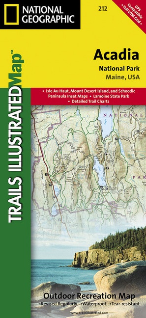
National Geographic Trails Illustrated Maps: Acadia National Park, Maine, USA - Outdoor Recreation Map. Isle Au Haut, Mount Desert Island, and Schoodic Peninsula Inset Maps, Lamoine State Park, Detailed Trail Charts

English · Sheet map

Shipping usually within 1 to 3 working days

Description

Read more

Mount Desert Island, Sestern Mountain, Norwood Ridge, Freeman Ridge, Isle au Haut, Marshall Island, Swans Island, Western Bay, Mount Desert Narrows, Eastern May, Frenchman Bay, Eastern Way, Eastern Passage, Long Pond, Seal Cove Pond, Echo Lake, Somes Sound, Upper and Lower Hadlock Pond, Jordan Pond, and Eagle Lake

Product details

Publisher National Geographic Maps
 
Languages English
Product format Sheet map
Released 25.07.2013
 
EAN 0749717012127
Dimensions 110 mm x 234 mm x 6 mm
Weight 93 g
Set National Geographic Trails Illustrated Maps
Subject Travel > Maps, city plans, atlases

Customer reviews

No reviews have been written for this item yet. Write the first review and be helpful to other users when they decide on a purchase.

Write a review

Thumbs up or thumbs down? Write your own review.

For messages to CeDe.ch please use the contact form.

The input fields marked * are obligatory

By submitting this form you agree to our data privacy statement.