Fr. 13.70

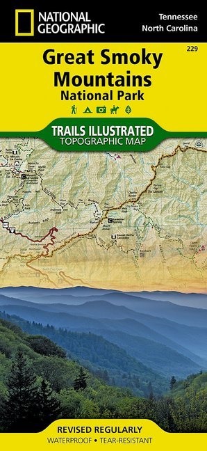
National Geographic Trails Illustrated Maps: Great Smoky Mountains National Park, Tennessee / North Carolina, USA - Outdoor Recreation Map. Appalachian Trail, Benton MacKaye Trail, Mountains-to-Sea Trail, Backcountry Campsites, Stream Crossing Charts, Trail Mileages

English · Sheet map

Shipping usually within 1 to 3 working days

Description

Read more

Great Smoky Mountain Nationalpark inkl. Twentymile Trail, Lakeshore Trail, Chasteen Creek Trail, the Great Smoky Mountains, Chilowee Mountain, Little Mountain, the Blue Ridge Parkway, Cataloochee Divide, Pisgah National Forest, Cherokee National Forest, Nantahala National Forest, Little Tennessee River, Chilhowee Lake, Fontana Lake, Tuckasegee River, the cities of Maryville Tennessee, Gatlinburg Tennessee, Waynesville North Carolina

Product details

Publisher National Geographic Maps
 
Languages English
Product format Sheet map
Released 23.07.2013
 
EAN 0749717012295
Dimensions 109 mm x 234 mm x 6 mm
Weight 94 g
Set National Geographic Trails Illustrated Maps
Subject Travel > Maps, city plans, atlases

Customer reviews

No reviews have been written for this item yet. Write the first review and be helpful to other users when they decide on a purchase.

Write a review

Thumbs up or thumbs down? Write your own review.

For messages to CeDe.ch please use the contact form.

The input fields marked * are obligatory

By submitting this form you agree to our data privacy statement.