Description
Product details
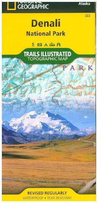
| Authors | National Geographic Maps, National Geographic Maps, National Geographic Maps - Trails Illust |
| Publisher | National Geographic Maps |
| Languages | English |
| Product format | Sheet map |
| Released | 11.07.2013 |
| EAN | 9781566953283 |
| ISBN | 978-1-56695-328-3 |
| No. of pages | 1 |
| Dimensions | 116 mm x 7 mm x 236 mm |
| Weight | 90 g |
| Sets |
National Geographic Trails Illustrated Maps National Geographic Trails Illustrated Topographic Maps |
| Series |
National Geographic Trails Illustrated Map Ti - National Parks National Geographic Trails Illustrated Map National Geographic Trails Ill Ti - National Parks |
| Subjects |
Guides
> Sport
> Other sports disciplines
Travel > Maps, city plans, atlases > North and Central America |
Customer reviews
No reviews have been written for this item yet. Write the first review and be helpful to other users when they decide on a purchase.
Write a review
Thumbs up or thumbs down? Write your own review.