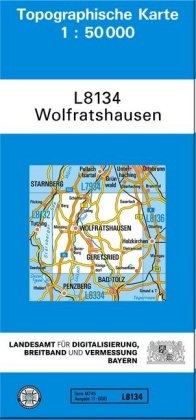
Description
Product details
| Assisted by | Landesam für Digitalisierung Breitband u (Editor), Landesam für Digitalisierung Breitband un (Editor), Landesamt für Digitalisierung Breitband un (Editor) |
| Publisher | Landesamt für Digitalisierung, Vermessung Bayern |
| Languages | German |
| Product format | Sheet map |
| Released | 01.05.2014 |
| EAN | 9783899330519 |
| ISBN | 978-3-89933-051-9 |
| Dimensions | 59 mm x 239 mm x 2 mm |
| Weight | 46 g |
| Set |
Topographische Karten Bayern |
| Series |
Amtliche Karten Bayern 1 : 50 000 Topographische Karten Topographische Karten Bayern 1 : 50 000 Topographische Karte Bayern TK 50 TK50 Topographische Karten Bayern 1 : 50 000 Topographische Karte Bayern TK50 |
| Subject |
Travel
> Maps, city plans, atlases
> Germany
|
Customer reviews
No reviews have been written for this item yet. Write the first review and be helpful to other users when they decide on a purchase.
Write a review
Thumbs up or thumbs down? Write your own review.

