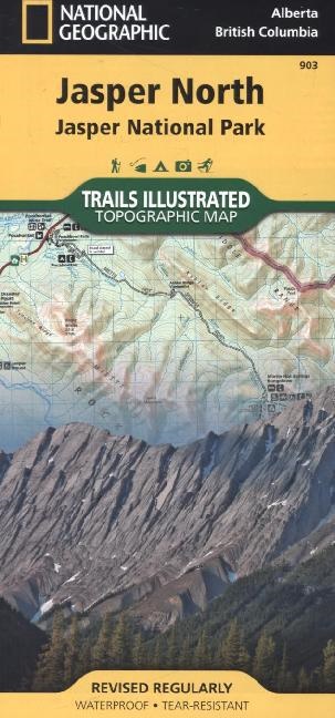
Beschreibung
Produktdetails
| Autoren | National Geographic Maps, National Geographic Maps, National Geographic Maps - Trails Illust |
| Verlag | National Geographic Maps |
| Sprache | Englisch |
| Produktform | Karte |
| Erschienen | 12.07.2013 |
| EAN | 9781566956611 |
| ISBN | 978-1-56695-661-1 |
| Seiten | 1 |
| Abmessung | 123 mm x 5 mm x 239 mm |
| Gewicht | 94 g |
| Reihen |
National Geographic Trails Illustrated Maps National Geographic Trails Illustrated Topographic Maps |
| Serien |
National Geographic Trails Illustrated Map National Geographic Trails Illustrated Map National Geographic Trails Ill Trails Illustrated |
| Themen |
Reise
> Karten, Stadtpläne, Atlanten
Reise > Karten, Stadtpläne, Atlanten > Nord- und Mittelamerika |
Kundenrezensionen
Zu diesem Artikel wurden noch keine Rezensionen verfasst. Schreibe die erste Bewertung und sei anderen Benutzern bei der Kaufentscheidung behilflich.
Schreibe eine Rezension
Top oder Flop? Schreibe deine eigene Rezension.

